Lost Maples State Natural Area: The Complete Honest Guide Before You Go
Lost Maples State Natural Area is a 2,906-acre preserve in the Texas Hill Country, about five miles north of Vanderpool and roughly two hours northwest of San Antonio. The park protects a rare stand of Uvalde bigtooth maples, offers over 10 miles of hiking trails through steep limestone canyons, and is one of the best places in Texas for fall foliage, spring wildflowers, and dark sky stargazing.
Most people only hear about Lost Maples in October when the leaves change. But I live 45 minutes away in Bandera County, and I can tell you this park is genuinely worth visiting year-round. The problem is that almost every guide out there reads like it was written by someone who Googled the park from their couch. This one wasn’t.
Here’s what you actually need to know before you go.
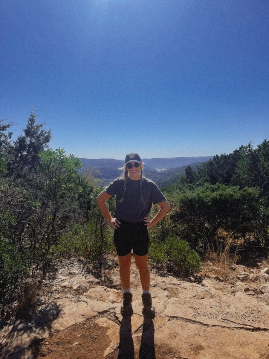
Where Is Lost Maples and How Do You Get There?
Lost Maples State Natural Area is located on Ranch Road 187, about five miles north of the tiny town of Vanderpool in western Bandera County. If you’re coming from San Antonio, you’re looking at about a two-hour drive. From Austin, plan on closer to two and a half to three hours, depending on your route.
The most common route from San Antonio is Highway 16 North through Bandera to Medina, then FM 337 west to Vanderpool, then a right on 187 for the final five miles. The drive itself is stunning once you get past Medina. The roads get narrow and winding, the hills get dramatic, and you start to feel like you’ve left Texas and landed somewhere in the Ozarks.
One thing nobody mentions: cell service cuts out completely once you’re in the park and for several miles of the approach. Download your maps offline before you leave. Your GPS may lose signal on the back roads near Vanderpool, and if you miss a turn out there, you’re adding 20 minutes to your drive with no way to reroute.
The Parking Situation (Read This First)
This is the single most important thing in this entire guide, and I’m putting it near the top for a reason: Lost Maples has parking for 250 vehicles. That’s it. Two small lots. When they’re full, the park closes to new visitors and only lets people in as others leave.
During fall foliage season, which runs from roughly late October through mid-November, the park hits capacity almost every weekend morning. But even in spring, the park can fill on nice-weather Saturdays. If you’re visiting on a weekend between March and May or October and November, you need to arrive by 8:30 a.m. or have a day-use reservation booked in advance through the Texas State Parks reservation system.
Day-use entry costs $6 per person aged 13 and older. Kids 12 and under are free. The park office hours are 8:30 a.m. to 4:30 p.m. daily. There’s no gate, so if you arrive after hours you can self-pay at a station outside the headquarters.
My honest advice: go on a weekday if you possibly can. The experience is completely different without 200 other cars in the lot. Tuesday through Thursday you can show up at 10 a.m. and have trails nearly to yourself.
Which Trails Should You Actually Hike?
Lost Maples has over 10 miles of trails, but they’re not all created equal, and the park map doesn’t do a great job of telling you what you’re in for. Here’s the honest breakdown.
The East Trail Loop (5.3 miles, moderate to challenging)
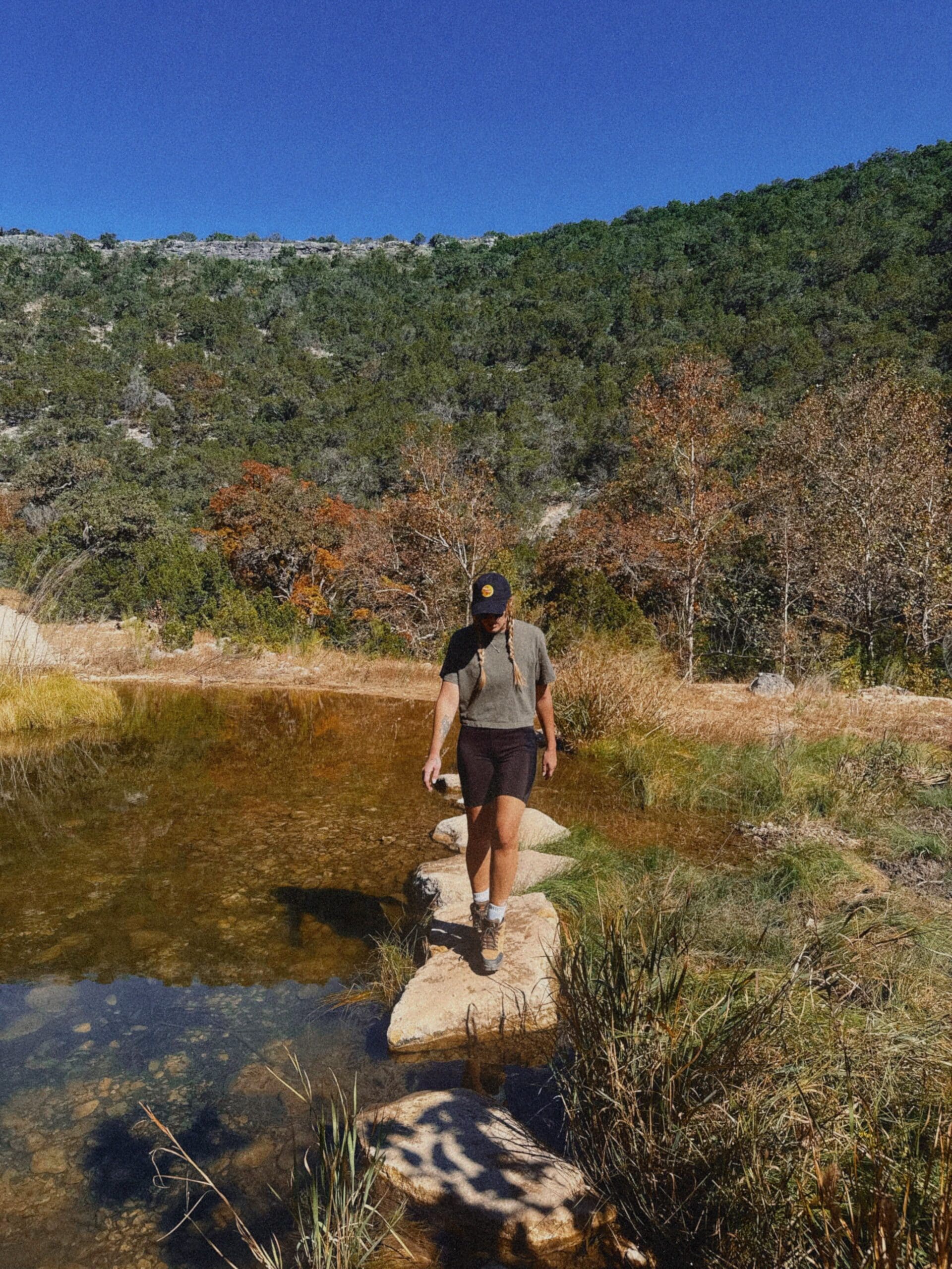
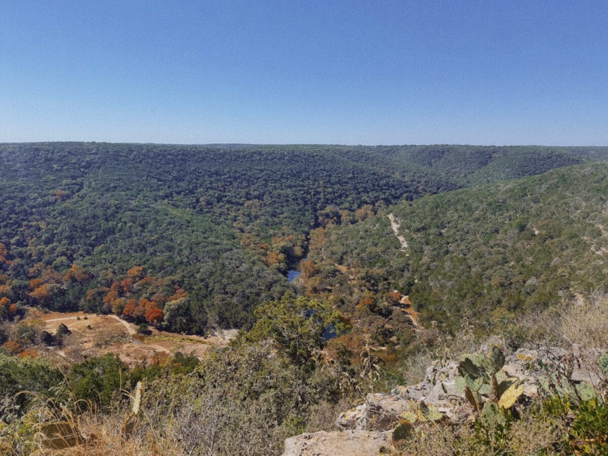
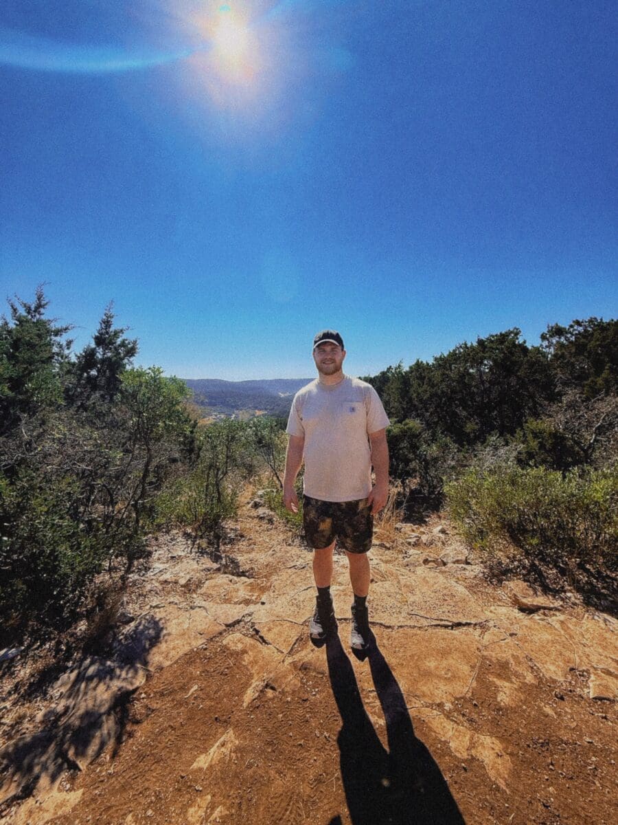
This is the one to do. The East Trail Loop is the most popular trail for a reason. It takes you along the Sabinal River, past the famous Monkey Rock limestone formation, through a creek crossing, and then up a steep rocky climb to the scenic overlooks on the canyon rim. The views from the top are legitimately some of the best in the Hill Country. You’re looking down at the Sabinal River valley from 2,200 feet and it’s the kind of view that makes you stop talking for a minute.
The climb is real, though. About a mile of steady uphill with loose rock and steep steps. Trekking poles are not required but I’d absolutely recommend them, especially on the way down. Good ankle-supporting shoes are non-negotiable. This is not a sneakers trail.
Plan for about three to four hours for this loop, depending on your pace and how long you stop at the overlooks. Bring at least a quart of water per person per hour of hiking. That’s not an exaggeration. The park recommends 32 ounces per hour and they’re right.
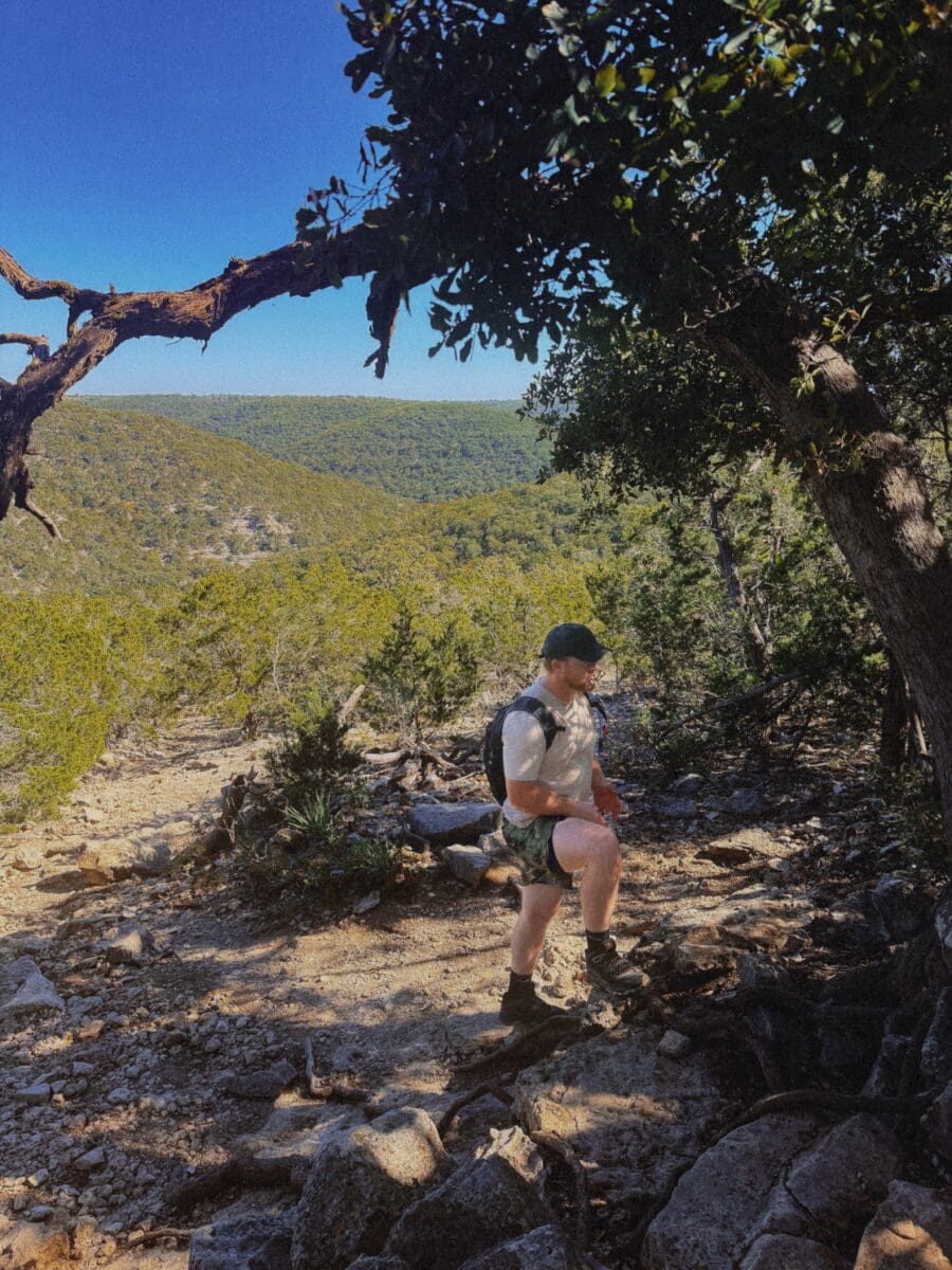
The Maple Trail (1.5 miles, easy)
If you’re visiting with kids, older parents, or you just don’t want to do a full day hike, the Maple Trail runs along the Sabinal River through the densest grove of bigtooth maples. It’s flat, shaded, and beautiful. This is where you’ll see the best fall color if you’re visiting in late October or November. In spring, the wildflowers along this trail are excellent and the river is usually flowing nicely.
The West Trail and West Loop (add 2–4 miles)
The West Trail leads you to the springs area and the Edwards Plateau escarpment. It’s quieter than the East Trail and more of a solitude hike. If you’re experienced and want a full day, you can combine the East Trail, West Trail, and West Loop for an 11-mile circuit that covers most of the park. It’s a real workout but you’ll see everything.
One more trail note: all trails are open to biking for the first mile from the trailhead only. After that, it’s hiking only.
What Time of Year Should You Visit?
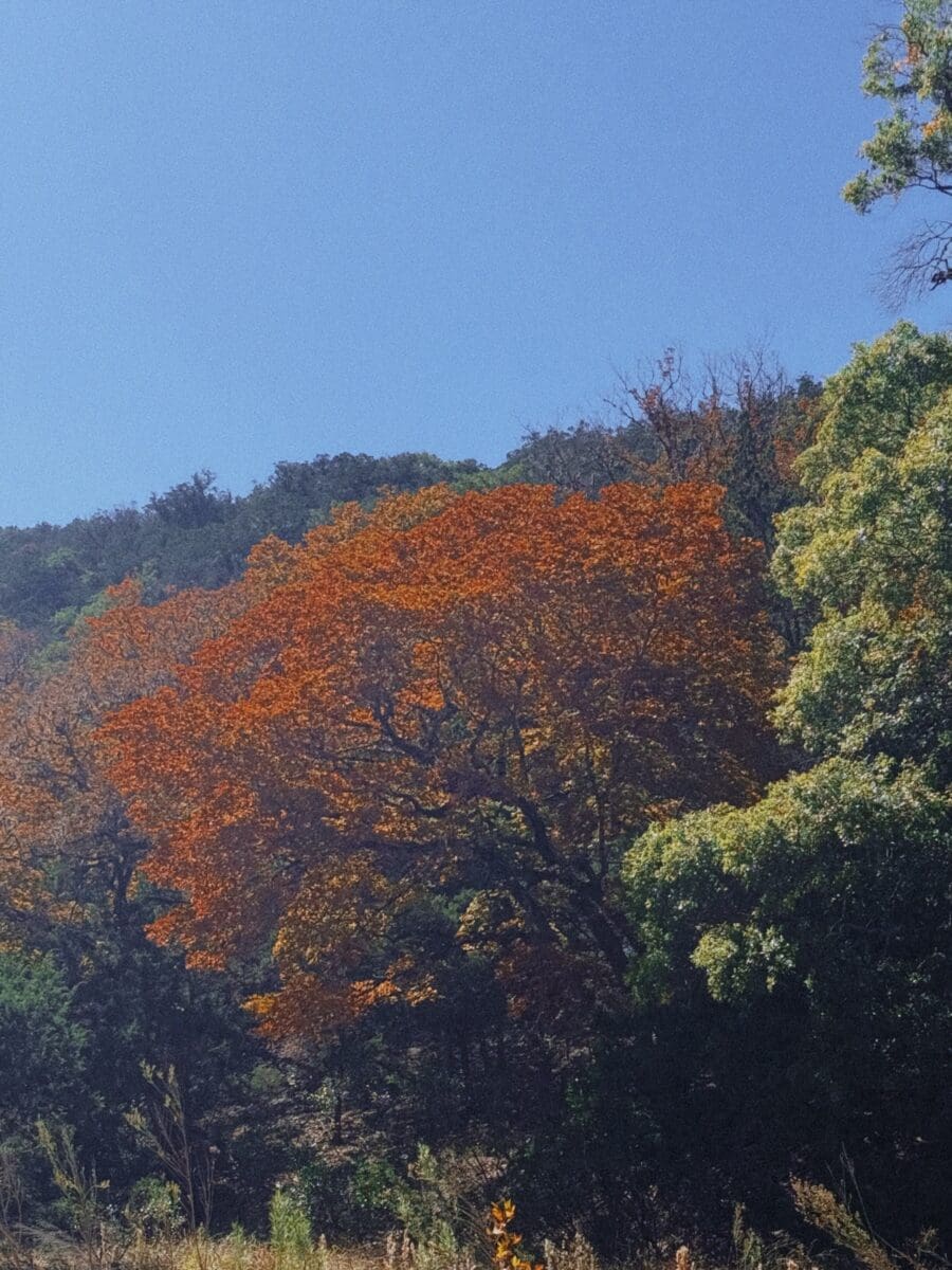
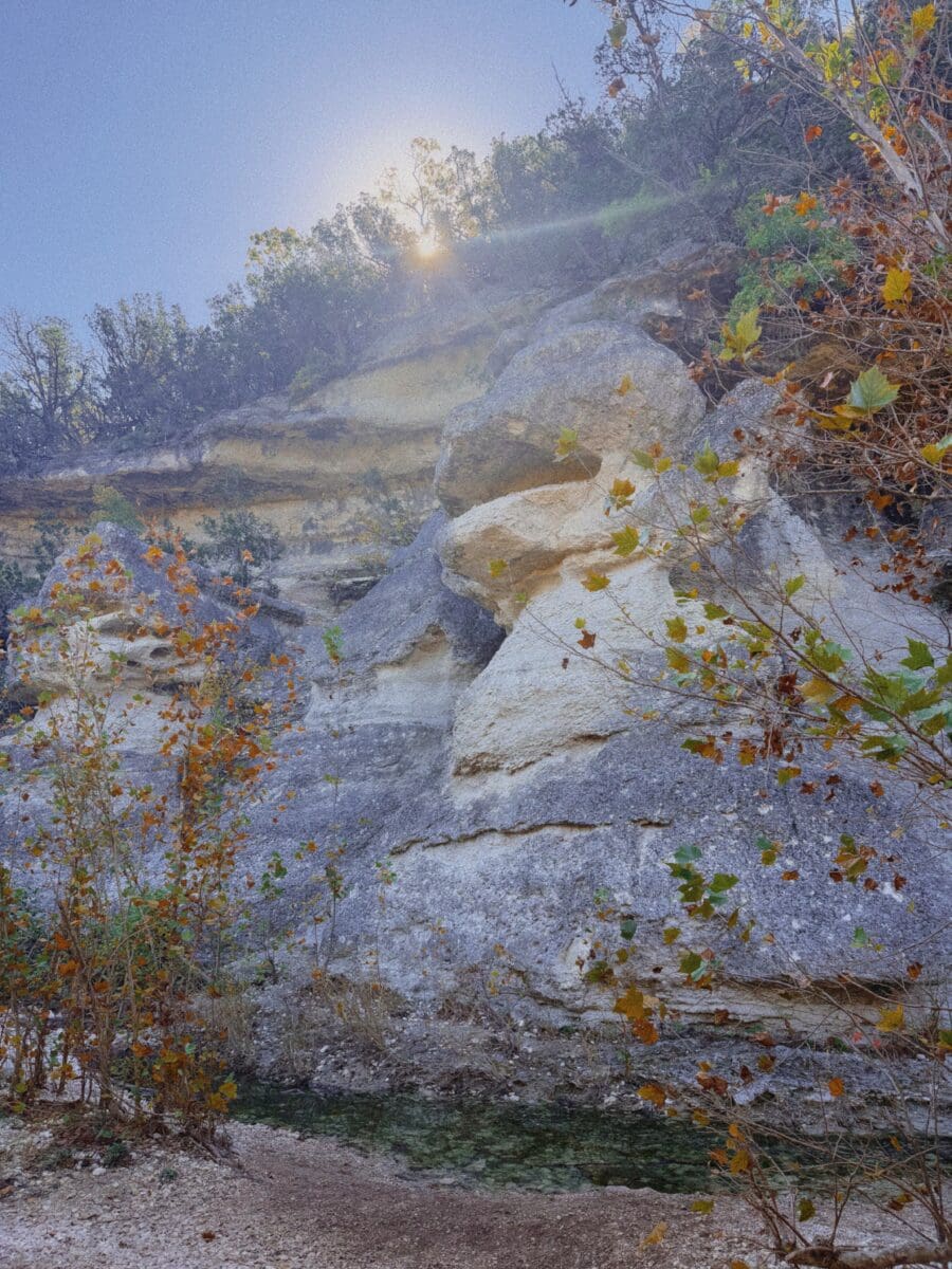
Everyone defaults to fall, and yes, the fall foliage at Lost Maples is legitimately stunning. The bigtooth maples turn red, orange, and gold in ways you don’t expect to see in Texas. The color typically peaks in late October through mid-November, but it varies year to year depending on rainfall and temperature. The park posts fall foliage reports on their website starting in mid-October, which is worth checking before you book.
But I actually think spring is the underrated move. March through April, the wildflowers bloom, the river is flowing, the canyon walls are green, the temperatures are perfect for hiking, and the crowds are a fraction of what you’ll see in fall. You can actually hear the birds instead of other hikers. Lost Maples is home to the endangered golden-cheeked warbler and black-capped vireo, and spring is when they’re nesting. If you’re a birder, this is the time.
Summer is hot. July averages 94 degrees, the trails are exposed in sections, and the river can get low. If you go in summer, start your hike at sunrise and be done by late morning. Winter is quiet, crisp, and actually lovely for hiking. January lows average around 31 degrees, so layer up, but you’ll have the park almost entirely to yourself.
Can You Camp at Lost Maples?
Yes, and the camping is good. There are 30 developed campsites in the Electric Loop Area near the park entrance with water and electric hookups, picnic tables, shade shelters, fire rings, and access to restrooms and showers. These accommodate RVs up to 67 feet. Campfires are allowed only in the designated fire rings in this area.
If you want something more remote, Lost Maples has eight primitive camping areas scattered throughout the backcountry, accessible only by hiking in. These are true primitive sites, which means no water, no electricity, and composting toilets. You’ll need to pack in everything, including your water. Campfires are not allowed at primitive sites.
Camping reservations are strongly recommended, especially in fall and spring. Book through the Texas State Parks reservation system. Quiet hours are 10 p.m. to 6 a.m.
What to Bring (And What to Leave at Home)
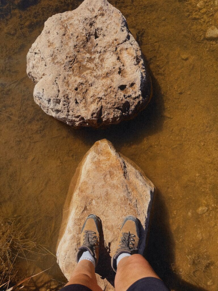
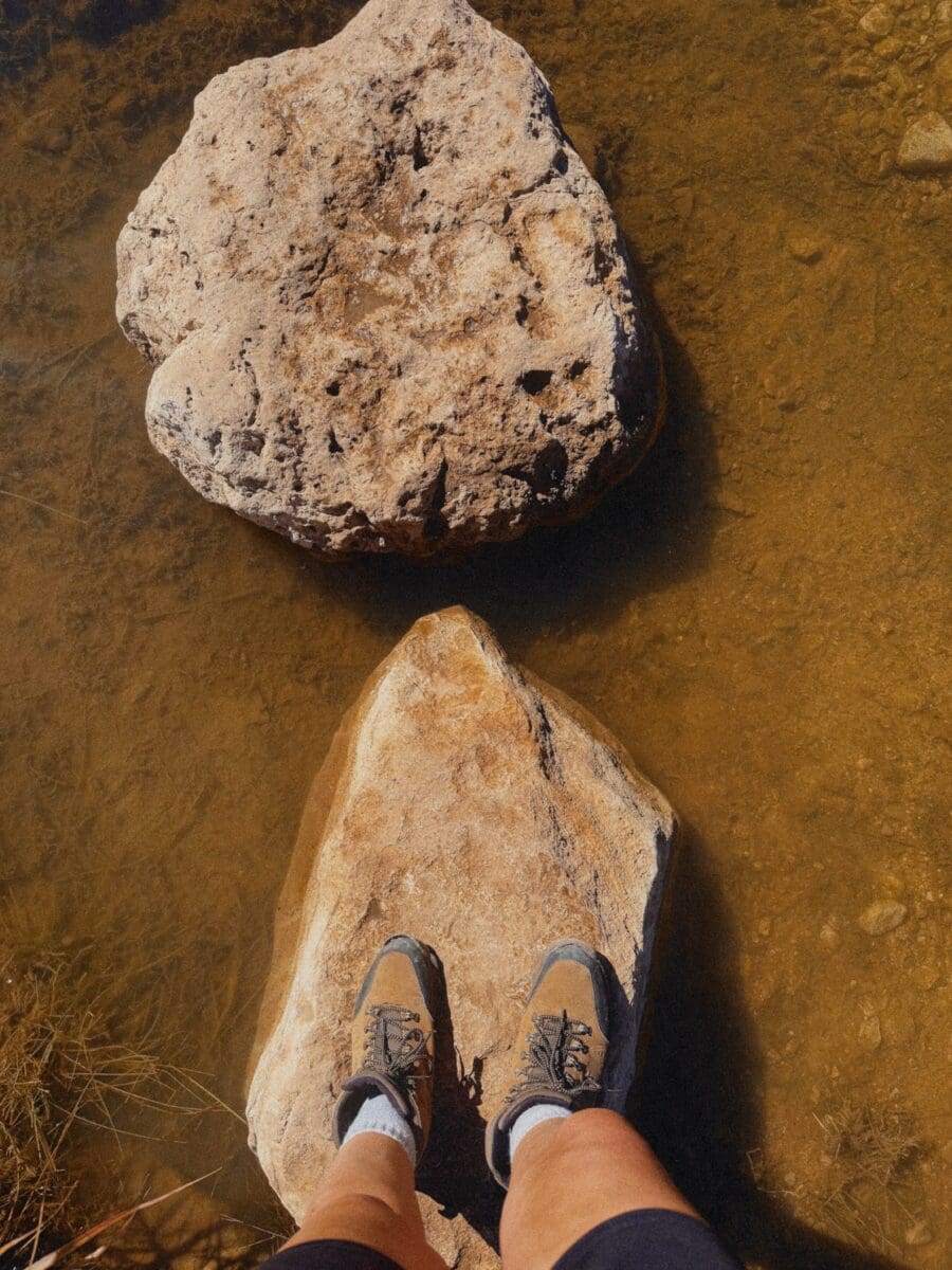
Bring sturdy hiking shoes with good ankle support and tread. The trails are rocky and steep in places and you will regret wearing anything flimsy. Bring more water than you think you need. Sunscreen and a hat even if it’s not summer, because the upper trails are exposed. Trekking poles if you have them. A camera, obviously. Binoculars if you care about birds at all. Snacks. An offline trail map downloaded to your phone before you lose signal.
Leave the kayak and the inner tube. The Sabinal River runs through the park but it’s too shallow for paddling or tubing. You can fish from shore without a fishing license, though, which is a nice bonus if you want to bring a rod. The river has largemouth bass, Guadalupe bass, and sunfish.
Leave the Bluetooth speaker. This is a state natural area, not a state park, which means the primary focus is protecting the environment. People come here for the quiet. Respect that.
What Nobody Tells You Before You Go
The drive is part of the experience. The last 30 miles of winding Hill Country backroads through Medina and Vanderpool are gorgeous and set the tone for the park itself. Don’t rush it. Pull over at the overlooks.
There is no cell service in the park. I’ve mentioned this twice now because people are genuinely surprised by it. Tell someone your plans before you go and what time to expect you back. This is real backcountry, not a manicured city park. I recommend downloading all the maps before you go on your trip.
The park is technically in both Bandera and Real counties, and it’s one of those places that feels much farther from civilization than it actually is. Vanderpool, the closest town, is tiny. There are no restaurants, no gas stations worth relying on, and no grocery stores nearby. Fill your tank and pack your food before you get there.
There’s a winery nearby called Lost Maples Winery, and FoxFire Cabins in Vanderpool is the go-to lodging if you don’t want to camp. Bandera, about 45 minutes east, has more restaurants and is a good base if you want a real dinner after your hike.
The stargazing is exceptional. Lost Maples is one of the darkest sky locations in the Hill Country. If you’re camping, bring a blanket and stay up past sunset. It’s worth it.
Should You Visit Lost Maples State Natural Area?
If you live in central or south Texas and you haven’t been, yes. Without question. Lost Maples is one of the best state-managed natural areas in Texas, and the fact that most people only think about it during fall foliage season means you can have an incredible experience the other 10 months of the year for a fraction of the crowds.
It’s not Enchanted Rock. It’s not Garner State Park. It’s quieter, rougher, more remote, and more rewarding. The trails are genuinely challenging in places, the scenery is dramatic, and the whole experience feels like you’ve discovered something most people don’t know about.
Which, honestly, you kind of have.
FAQ: Lost Maples State Natural Area
How far is Lost Maples from San Antonio? Lost Maples State Natural Area is approximately two hours northwest of San Antonio, located five miles north of Vanderpool on Ranch Road 187 in western Bandera County.
Do you need a reservation to visit Lost Maples? During peak fall foliage season in October and November, day-use reservations are strongly recommended and the park frequently reaches capacity. In spring and on weekends year-round, reservations are encouraged. Weekdays outside of fall are generally walk-in friendly, but check the Texas State Parks website before you go.
When is the best time to see fall color at Lost Maples? The bigtooth maples typically peak from late October through mid-November, though timing varies by year depending on rainfall and temperature. The park posts fall foliage reports on their website starting in mid-October.
Is Lost Maples good for kids? Yes, with the right trail. The Maple Trail is flat, shaded, and runs along the Sabinal River, making it manageable for families. The East Trail Loop is too steep and rocky for young children. The park also has a Junior Ranger program and fishing from shore that kids enjoy.
Can you swim at Lost Maples? The Sabinal River runs through the park but is generally too shallow for swimming, kayaking, or tubing. You can wade in spots, and fishing from shore is allowed without a fishing license.
Is there cell service at Lost Maples? No. Cell phone service is not available inside the park and is spotty for several miles on the approach roads. Download offline maps and tell someone your plans before you visit.